
Two-day yellow weather warning issued for North Northants area with risk of flooding and thunderstorms
A yellow weather warning for thunderstorms has been issued for North Northamptonshire centred on the county, that could see heavy rain and disruption.
The Met Office warning was put in force from 3am until 10pm on Wednesday, August 26, and again for Thursday from 6am to 10pm – the impact on both days classified as ‘medium’ and the likelihood ‘very low’.
A band of heavy showers and thunderstorms is expected to move north during the morning, possibly followed by further storms in the afternoon.
On Thursday (August 27), widespread slow-moving heavy and thundery rain is expected to spread north across the UK, bringing the potential for prolonged periods of rainfall in some areas.
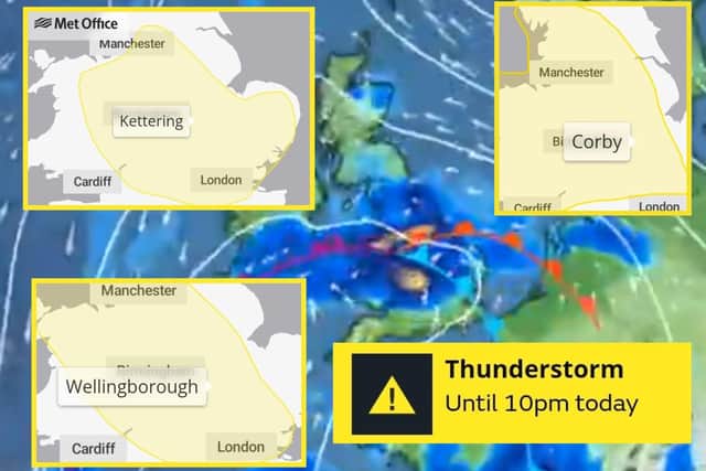

Both days significant rain could fall over several hours, increasing the likelihood of localised flooding and the impact of thunderstorms.
Met Office chief forecaster Steve Willington said: “As we move into Wednesday there is a growing risk of heavy rain and thunderstorms, with warm and humid air helping to trigger heavy showers and thunderstorms.
"Some places could see significant amounts of rain falling in a short period of time, bringing the potential for localised flooding, travel disruption and frequent lightning.
“On Thursday, slow-moving heavy and thundery rain may bring prolonged rainfall to some areas, increasing the risk of localised impacts.
"There remains some uncertainty around where the heaviest rain will fall, so it is important to keep up to date with the latest forecast and warnings."
While many places may avoid the worst weather, the Met Office says intense storms could produce between 20mm and 30mm of rain in less than an hour. Some locations could receive up to 50mm within two to three hours.
Large hail and frequent lightning are also possible, alongside surface-water flooding, difficult driving conditions and disruption to bus and rail services. There is also a slight risk of power cuts.