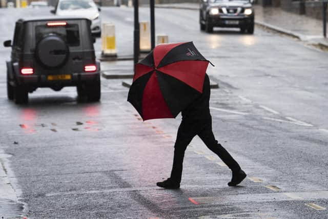
Storm Otto: Met Office first named storm of season to bring winds up to 80mph to parts of UK on Friday
and live on Freeview channel 276
Storm Otto is the first named storm of the season, say the Met Office, expected to bring winds up to 80mph to parts of the UK. Gusts could be in excess of 75mph in some northern areas of England and parts of Scotland. The Met Office issued a yellow warning for the conditions on February 15.
The yellow weather warning has since been updated and will come into force in parts of Scotland on Friday at 3am and last until 3pm. In the North East, the warning is in place from 5am to 2pm.
Advertisement
Hide AdAdvertisement
Hide AdMet Office chief meteorologist Andy Page said: “Storm Otto will bring high winds and rain to the UK, with some northern parts of Scotland and the northeast of England likely to get the strongest gusts of wind, possibly in excess of 75mph. Warnings have been issued and could be updated as Storm Otto develops.
“There’s a chance of travel disruption and high-sided vehicles could be particularly prone to disrupted plans in this set-up. There’s associated rain with Storm Otto, with 40-50 mm of rain likely to fall over parts of western Scotland.”
The Met Office has also warned of other potential impacts including the likelihood of large waves, especially in North Sea coasts, as well as a chance of some damage to buildings and infrastructure.
Storm Otto has been named by the Danish Met Service and is the first storm to directly impact the UK during storm naming season, which begins in September 2022. The first storm named by the Met Office will be Storm Antoni, from the 2022/23 storm naming list.
Advertisement
Hide AdAdvertisement
Hide AdWhat is a yellow weather warning?
A yellow weather warning is used by the Met Office to warn people of potential danger and disruption weather could bring. Due to the weather warning, the Met Office has listed a number of things people in the North East should be aware of as the strong wind arrives on Friday. They say:
- There is a slight chance of some damage to buildings, such as tiles blow from roofs.
- There is a small chance of longer journey times or cancellations as road, rail, air and ferry services are affected. High side vehicles may be particularly prone in this set-up.
- There is a slight chance power cuts may occur, with the potential to affect other services, such as mobile phone coverage.
- There is a small chance that some roads and bridges could close.
What is a named storm?
Named storms were first introduced in 2015 to aid the communication of approaching severe weather. The criteria used for naming storms is based on the National Severe Weather Warnings service.


A storm is named based on a combination of both the impact the weather may have, and the likelihood of those impacts occurring. A storm will be named when it has the potential to cause an amber or red warning.
Comment Guidelines
National World encourages reader discussion on our stories. User feedback, insights and back-and-forth exchanges add a rich layer of context to reporting. Please review our Community Guidelines before commenting.
