Forecasters warn Beast from the East could dump 16 INCHES of snow on Northamptonshire...but @NNweather take it with pinch of salt
and live on Freeview channel 276
Weather experts warn there could be up to 16 INCHES of snow heading for Northamptonshire.
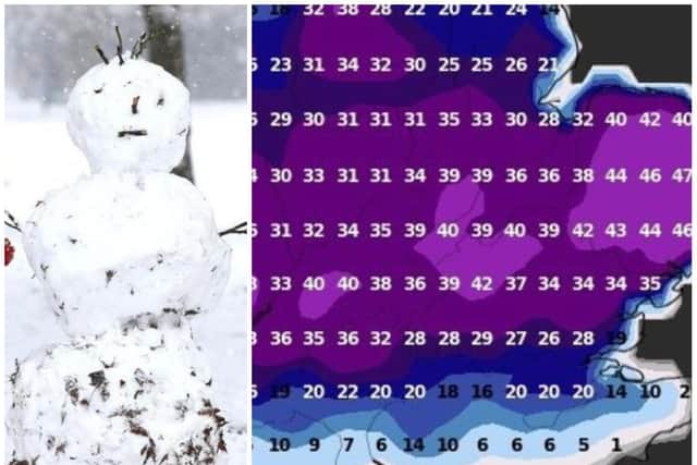
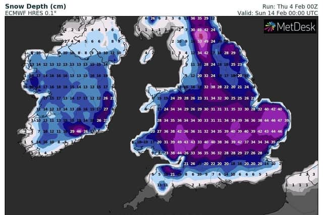
Forecasts from the European Centre for Medium-Range Weather Forecasts are predicting between 30cms and 40cms falling by St Valentine's Day as the Beast from the East rips into the East Midlands from Scandinavia.
Advertisement
Hide AdAdvertisement
Hide AdLocal weather watchers are taking the models with more than a pinch of salt — but say a big freeze is coming our way from this weekend.


Jamie Dunlop from @NNweather said: "The ECMWF model run on Thursday morning is indicating 30-40cms of snow by next weekend.
"This is not to be taken literally as snow depth charts this far ahead are often not very accurate.
"But we already know it will be turning bitterly cold over this coming weekend and into next week with an increasing risk of snow.
Advertisement
Hide AdAdvertisement
Hide Ad"Cold Ashby looks like it’ll live up to it’s name on Sunday with a daytime windchill feel like temperature of MINUS 7°C and a Met Office weather warning for snow on Saturday night and all day Sunday and Monday has been issued."


Yesterday's Met Office yellow warning is expected to be updated before the weekend as forecasters remain unsure about how much snow will fall and where as rain turns to snow where cold air from Scandinavia sitting across the north of the UK meeting warm, moist air pushing in from the Atlantic.
Met Office Deputy Chief Meteorologist, Mark Sidaway, said: “We are likely to see some very large accumulations across higher parts of Scotland especially, with strong winds leading to significant drifting and blizzard conditions at times.
"The very cold air currently in place across the north will then spread south-westwards across the whole UK. Snowfall is highly likely, especially across many eastern areas, later in the weekend and as we head into next week, with very cold easterly winds.”
Advertisement
Hide AdAdvertisement
Hide AdConditions could match those on February 28, 2018, when the Beast from the East brought heavy snow to Northampton with the Met Office weather station at Pitsford School recording wind chills of MINUS 14.8°C.