


Nowadays, we’re used to being able to clicking on anywhere on a map of the planet and seeing bird’s eye views of where we live or want to visit.
Drone pictures are everywhere, but back in the day, aerial photos were unusual – a luxury afforded only by corporations and for reconnaissance purposes.
We’ve looked back into our archive to find pictures of our part of the county from vantage points, helicopters and airplanes.
Some of the places have changed dramatically, almost unrecognisable; others are very similar to modern views.
13. Looking back and looking down on our towns and villages
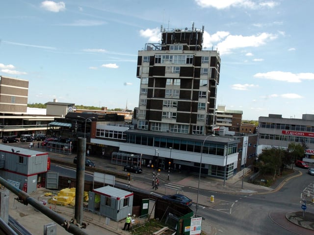
Corby, Grosvenor House, view from the 'new' Corby Cube 2009 Photo: Alison Bagley
14. Looking back and looking down on our towns and villages
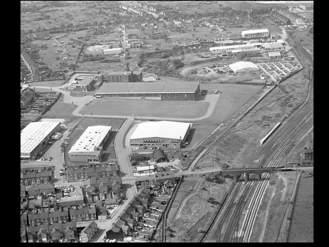
1972 Mill Road Wellingborough before the Stanton Cross Photo: National World
15. Looking back and looking down on our towns and villages
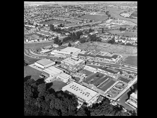
Corby - George Street with Tresham College in the foreground 1970s Photo: National World
16. Looking back and looking down on our towns and villages
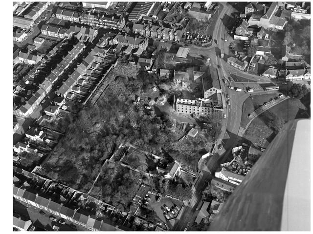
1984 Lower Street and Northall Street, Kettering before Windsor Gardens Photo: National World